


Bhugol GIS Pvt. Ltd. is an enterprise built on decades of research experience. We draw upon the talent of experienced researchers in the fields of Geographical Information Systems and Image Processing to provide a wide range of products and services.In addition we also offer training and capacity building to enable your team to meet all your GIS and IP needs.
Founded and Incubated at Society for Innovation and Entrepreneurship (SINE) at the Indian Institute of Technology Bombay (IITB). BHUGOL GIS is a technology and analytics firm with its own proprietary tool, GRAM++. GRAM is an acronym for Geo-Referenced Area Management, featuring robust Mapping, Data Analytics and Image Processing capabilities.
Based on unique algorithms and data analytics models researched and cultivated at the Centre of Studies in Resource Engineering, IIT Bombay - BHUGOL GIS has constructed a comprehensive suite of products that have competency in developing solutions based on a Geographical Information System (GIS) platform using Cognitive Data Analysis Matrices and Complex Image Processing templates.
Our Internationally recognised and Award-winning GIS software, GRAM++ was developed with support from a project initiative of the United Nations Development Program (UNDP).
Bhugol GIS provides a proprietory suite of GIS Software products to help address a variety of spatial analytics needs. Our set of products are available to individuals, institutions, academies and organisations as stand-alone tool as well as web-based disributed GIS platform that can be easily customised to develope specific applications using front-end computer languages.
Bhugol is capable of delivering targeted solutions for Government and Private sector organization dealing with complex real world information sources. Our analytical solutions are based on unique, customised approaches developed from specific and proprietary Geodatabase algorithms that form the engines of our products and solutions suite.
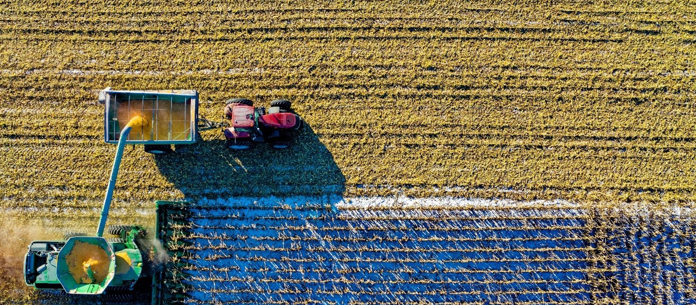
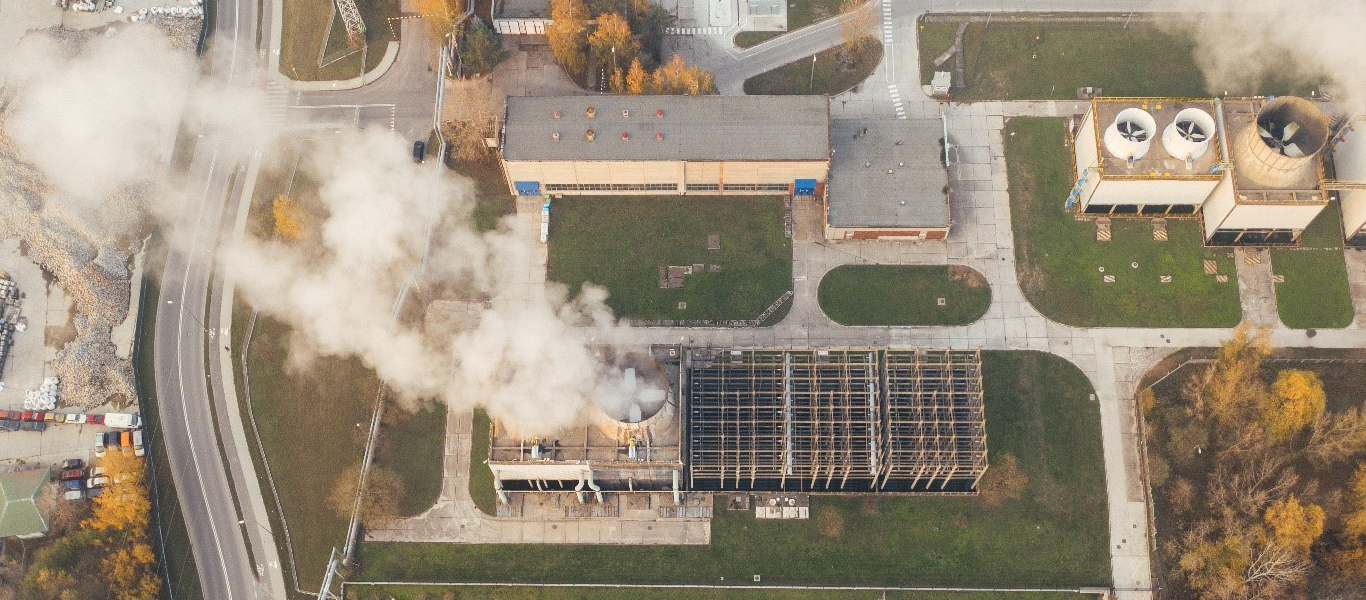
Our solutions Integrate technologies that use Remote Sensing, Photogrammetry, GIS and GPS techniques that provide 2D and 3D visualization.